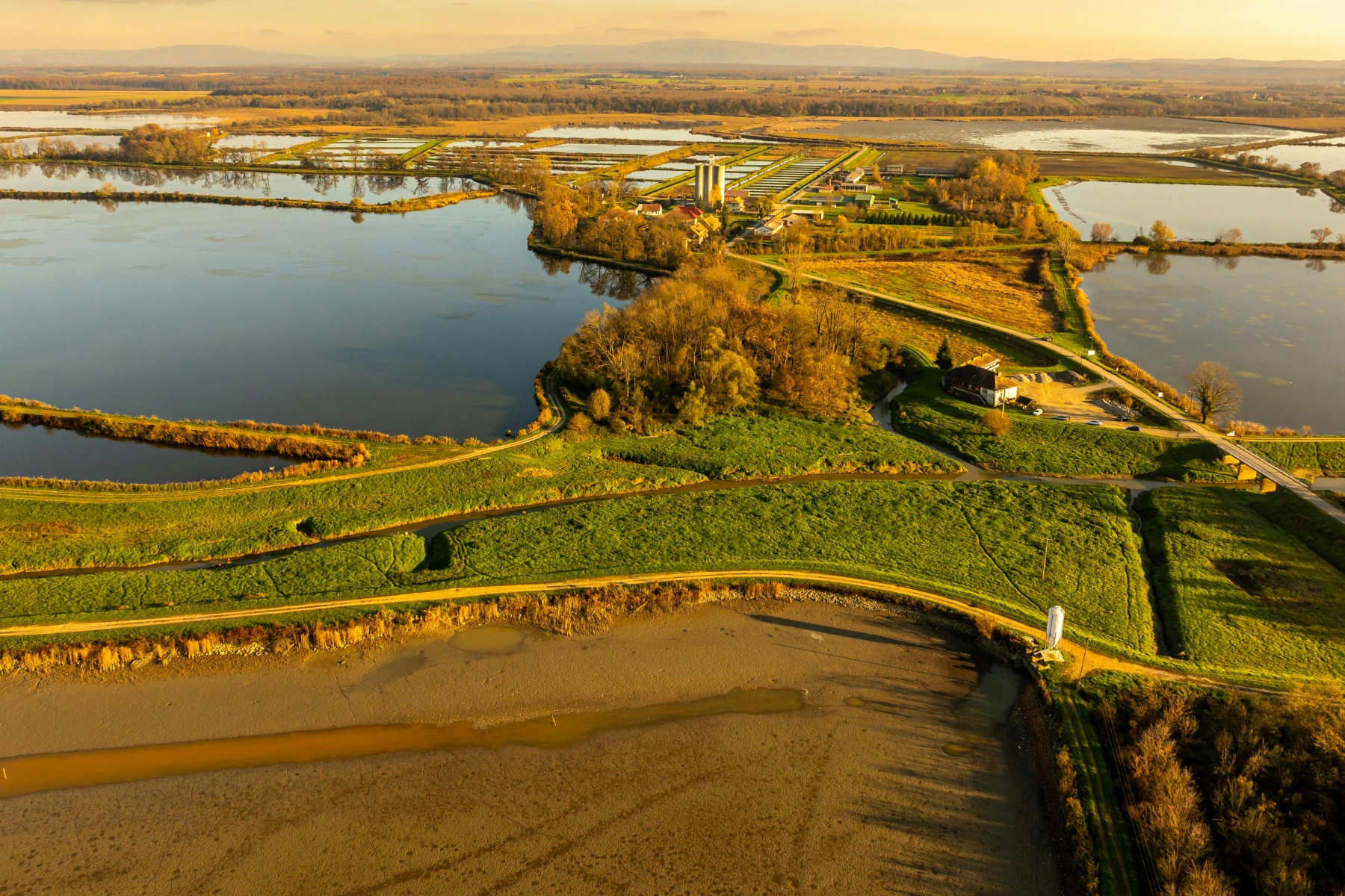
River system exploration involves studying rivers and their surrounding environments to understand their dynamics and interactions with the land. This includes:
- Subsurface structure analysis: Mapping beneath and around the riverbed to identify geological formations.
- Groundwater and surface water connections: Understanding how these systems interact within river basins.
- River changes and sediment buildup: Tracking shifts in the river’s path, sediment deposition, and links to underground aquifers.
FloaTEM can be instrumental in river system exploration by:
- Providing high-resolution imaging of subsurface features beneath rivers.
- Identifying pathways for water exchange between rivers and aquifers.
- Supporting environmental assessments and resource management by offering actionable insights into river dynamics.
FloaTEM makes river system exploration more precise, helping to address environmental challenges and manage water resources effectively.